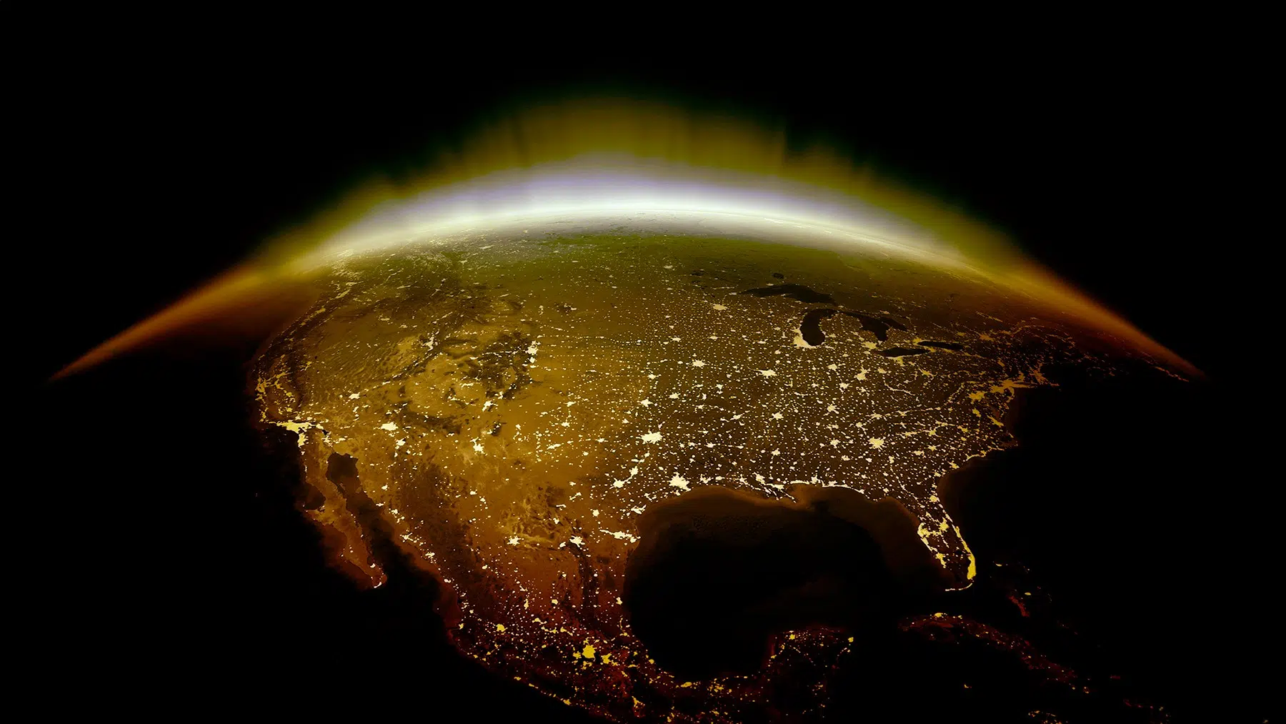
The fall in 2025 will feel like summer as heatwaves brewing from Pacific anomalies arrive in the coast and regions close by. With the Earth getting warmer by the year, instead of only icebergs melting in Antarctica and rising ocean levels, the seas are also getting warmer, which means that even people on the beach, trying to escape the heatwaves, will feel the consequences of carbon emissions. From California all the way up to Alaska, locals and people trying to get to a coastal destination will feel a heatwave that shouldn’t be affecting the region.
The weather is changing: Fall may look like summer
Environmental parameters are changing constantly when it comes to the fall. What before used to be about the color of the trees, fast winds, and leaves everywhere, it will now feel like you are in the summer for the second time in the same year. Scientists are still studying the full connections between these heatwaves brewing from Pacific anomalies and the jet stream being pushed to the north.
These winds blowing high up in the atmosphere are responsible for the rivers of air that direct the patterns and influence the overall temperature of the planet and precipitation. While it’s not clear why coastal cities in Canada and a portion of the U.S. are going through a summer 2.0 in 2025, researchers believe it has to do with the relationship between the ocean and the air.
Heatwaves brewing from Pacific anomalies: What is going on?
Two heatwaves brewing from Pacific anomalies are overlapping this fall, setting up what could be a record-breaking warm weekend across much of the United States. It might be the first full weekend of October, but for many regions, it will feel more like the middle of August. According to The Washington Post, climate researchers have been tracking these twin oceanic heat events spreading across the Pacific. At one point, the vast pocket of abnormally warm water stretched nearly the size of the continental U.S., from the waters near Japan all the way to the American West Coast.
This enormous belt of warmth is now driving the heatwaves brewing from Pacific anomalies that are spilling their influence onto land. Dillon Amaya, a research scientist at the National Oceanic and Atmospheric Administration, explained that the first marine heatwave began forming near eastern Asia back in April. He points to the Kuroshio Current — a powerful flow of warm water that travels from the tropics near the Philippines toward Japan — as a key factor.
Another heatwave is coming from the northeastern Pacific, stretching from Hawaii to the West Coast
The second of the heatwaves brewing from Pacific anomalies emerged more recently in the northeastern Pacific, stretching from Hawaii to the West Coast. These warm patches are disrupting the jet stream, pushing it farther north and allowing unseasonably hot air to surge across the United States and even parts of Canada. This weekend, that pattern is expected to bring temperatures typical of midsummer. The National Weather Service anticipates that the number of people facing moderate to major heat risk – Levels 2 and 3 on its four-tier scale – will climb from about 9 million on Thursday to more than 23 million by Friday.
Scientists’ observations on what is happening in the Pacific
For scientists like Amaya, these heatwaves brewing from Pacific anomalies are more than isolated weather events. They are another symptom of a planet steadily heating up. When comparing long-term sea temperature records, Amaya found that the frequency and intensity of marine heatwaves grow sharply when global warming trends are included – showing just how much the ocean itself is now part of the story of our warming world.
Read the whole thing?
Get the week's signal, not the noise
Our sharpest reporting on energy, climate and nature — free, once a week.