In February 2024, a research team anchored their vessel above one of the most remote stretches of ocean floor on Earth — the Southeast Indian Ridge — and lowered an array of instruments into the dark. Then they waited for a planet to move.
They didn’t wait long. On a single April day, the seafloor began to tear open in ways that geologists had long predicted but never actually seen. What unfolded over the following days was, by the team’s own account, something they hadn’t anticipated — in scale, in mechanics, or in what rose up from below.
A process that built two-thirds of Earth’s crust — largely unseen until now
Seafloor spreading is the engine of Earth’s surface. Where two tectonic plates pull apart, magma rises through the gap, cools, and solidifies into new oceanic crust along underwater mountain ranges called mid-ocean ridges. Run that process across hundreds of millions of years and you get entire ocean basins — responsible for roughly two-thirds of Earth’s crust.
The process has remained stubbornly hard to study. Mid-ocean ridges sit thousands of feet below the surface, well beyond routine observation. Scientists have inferred a great deal from seafloor maps and rock samples, but watching it happen in real time was another matter entirely — a gap that turns out to matter quite a lot.
Geoscientist Isobel Yeo of the National Oceanography Center put it plainly: “We still know remarkably little about the frequency, magnitude and dynamics of the eruptions and tectonic processes that build [mid-ocean ridges].” That admission, from a researcher not involved in the new study, captures just how foundational this blind spot has been.
Setting the trap: instruments on the ocean floor
In February 2024, the research team sailed to the southern Indian Ocean, targeting the Southeast Indian Ridge — a boundary where two tectonic plates diverge at roughly 2.4 inches per year. Active enough to be promising, remote enough to have gone largely unwatched.
The team lowered a suite of instruments to the seafloor: acoustic beacons, underwater microphones capable of detecting sound waves, acoustic motion sensors, and a pressure gauge — an early-warning network designed to capture whatever the ridge might produce.
Study co-author Jean-Yves Royer, a marine geophysicist at the French National Center for Scientific Research, acknowledged the role of fortune. “We have been very lucky to have had all these instruments set up when it happened,” he told the New York Times. The lava that poured out emerged roughly a mile from the instruments — close enough to record, but not close enough to destroy the equipment.
Six days, 13 feet, and a mountain of lava
On April 26, 2024, the instruments registered a series of earthquakes. The spreading event had begun.
What followed over the next six days exceeded every expectation. The seafloor dropped by approximately 13 feet, and the two tectonic plates moved apart by at least 6.5 feet. Royer told Scientific American that the team had expected “a few centimeters of horizontal displacement and maybe a few centimeters of vertical displacement.” The actual numbers landed in a different category entirely.
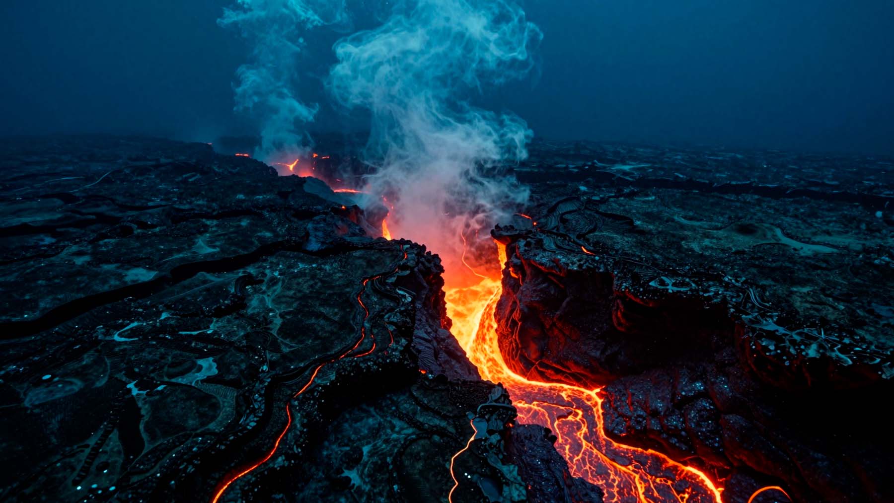
The lava output matched that scale. Seafloor mapping revealed roughly 5.7 billion cubic feet of lava had emerged over approximately 16 days — equivalent to about 65 times the volume of the Great Pyramid of Giza. That material cooled into new oceanic crust, and computer simulations suggest the event was driven by magma pushed upward as an underground reservoir emptied beneath the ridge.
Rethinking what drives tectonic plates apart
One unexpected finding involves earthquakes — or rather, what they failed to explain. The seismic activity detected wasn’t powerful enough to account for the observed horizontal plate movement, a mismatch that challenges a common assumption about what primarily drives plate separation at mid-ocean ridges.
The data supports a different picture. Plates appear to stretch quietly over extended periods, accumulating stress until conditions trigger a sudden, large-scale spreading event. Less like a gradual creep, more like a slow wind-up followed by a release.
Marine geologist Aaron Micallef of the Monterey Bay Aquarium Research Institute, not involved in the study, framed the challenge directly: “We know so little about what’s going on in these settings that we’re not even really sure of what measurements we need to carry out,” he told the Times. The findings were published July 8 in the journal Nature.
What comes next for deep-ocean geology
This observation doesn’t close a chapter — it opens one. For the first time, scientists have a real-time data record of a seafloor spreading event: its timing, its scale, its mechanics. That baseline will reshape how researchers model future events in ways that weren’t previously possible.
Earlier this year, researchers reported the oldest known direct evidence of tectonic plate movement — rock samples from Western Australia suggesting Earth’s crust was shifting as early as 3.48 billion years ago. The process observed in April 2024 is the same one that has been reshaping this planet for most of its existence.
Future expeditions won’t need to rely on the same luck this team had. Armed with a documented event, scientists can design more deliberate observation campaigns — better positioned, better instrumented, and far better prepared for what the seafloor might do next.
Read the whole thing?
Get the week's signal, not the noise
Our sharpest reporting on energy, climate and nature — free, once a week.