
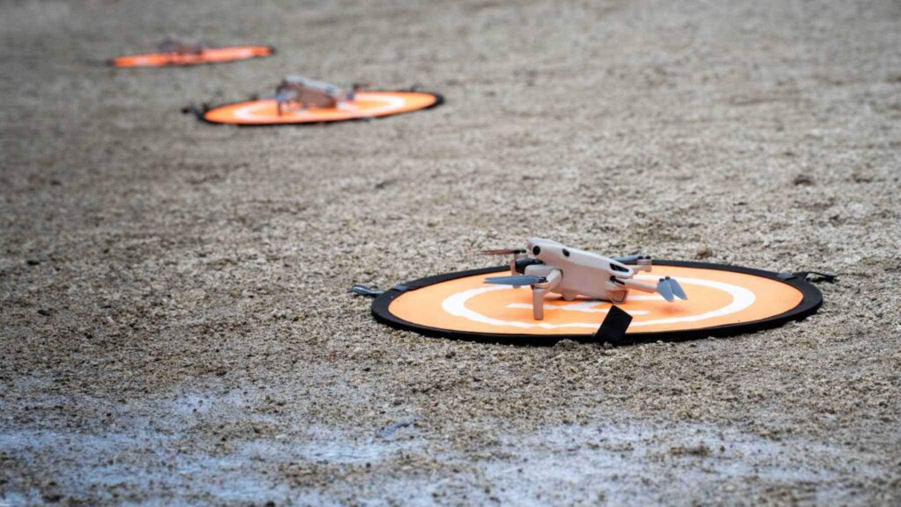
Researchers developing the WildBotics initiative aim to pilot a combination of unmanned drones, rovers, and laser scanning sensors in the Dolomites region of Italy to keep track of endangered alpine animals.
If successfully deployed, conservationists plan to use these automated tracking systems to help prevent endangered mountain animals from becoming extinct due to loss of habitat and climate change.
Mapping alpine terrain with autonomous aerial drones
The vertical nature of limestone surfaces and scree slopes makes it impossible for human surveyors to reach the animals’ mountain habitat.
The quadcopter takes pictures of the surface while flying at certain altitudes over the alpine meadows.
Thermal sensors are designed to detect body heat signatures through dense scrub, building on thermal imaging techniques developed during earlier research.
Special software correlates the images and creates a three-dimensional topography of the landscape.
The topographical map identifies sheltered microhabitats where endangered species feed and nurture their young.
Building on earlier WildDrone field tests in Kenya, the system is designed so that aerial surveys can create a base map of an area in a fraction of the time it takes field surveyors to cover on foot.
Deploying legged ground rovers through dense mountain forests
The drones are able to identify ridgelines well, but dense stands of larch and spruce foliage prevent visual identification via aerial cameras from the sky in mountainous regions.
Quad-ped rovers climb beneath the lower branches, emitting LiDAR laser pulses to create 3-D map images of the trees surrounding them.
Lasers rebound from unseen obstacles to help the robot’s legs navigate around wet ground and around rocks and deadfall covered in moss.
The silent operation of electric motors enables the rovers to move around skittish animals without alarming them into flight on rockslides.
The onboard sensors are intended to capture physical dimensions of wildlife as they move through forest cover, extending 3D measurement techniques previously demonstrated under controlled conditions and during WildDrone field trials.
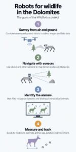
Classifying animal species using real-time computer vision
The project design integrates an onboard neural network on the rover to analyze images locally by comparing silhouettes against target animal profiles.
Machine learning models are intended to identify individual animals within moving herds by evaluating distinctive fur and movement patterns.
To prevent unindexed images from filling server storage, onboard processing aims to filter out uninformative frames before storage or transmission.
By running processing algorithms directly on the hardware, the system is designed to bypass the unstable satellite connectivity typical of deep mountain canyons.
Combining physical and conservation models
Capturing the animals physically in the wild is highly stressful for their hearts as well as being risky in terms of death caused by anesthesia.
Using a laser meter to get the measurements from one end of the body to the other is helpful.
Volumetric tracking programs allow comparisons between current and baseline measurements to determine potential problems with seasonal starvation in early stages.
Laser profile analysis is intended to provide continuous growth measurements without disturbing the natural activity of the herds, according to project development goals highlighted by the Fondazione Bruno Kessler.
Outlining sensor battery limitations and environmental boundaries
Robotic tracking is an excellent system of precise measurement, but the cold climate of the mountains influences the reliability of the process.
Freezing mountain temperatures significantly impair lithium-ion battery performance, requiring researchers to plan for reduced flight times and frequent battery changes.
Field trials scheduled throughout the 2026–2029 project timeframe in the Dolomites aim to establish technical standards for operating autonomous tracking systems in challenging cold-weather and high-altitude environments.
Solar panels are used by the field workers to charge the batteries of their field equipment at ridge huts, according to WildBotics.
The expensive equipment does not allow small conservation organizations to implement robotic tracking systems without constant financial support from the government.
Demonstrations—such as a proof-of-concept test conducted at Lake Nambino—and planned autonomous field tests in the Dolomites serve as a pilot model for future robotic tracking systems in the Arctic.
Read the whole thing?
Get the week's signal, not the noise
Our sharpest reporting on energy, climate and nature — free, once a week.


