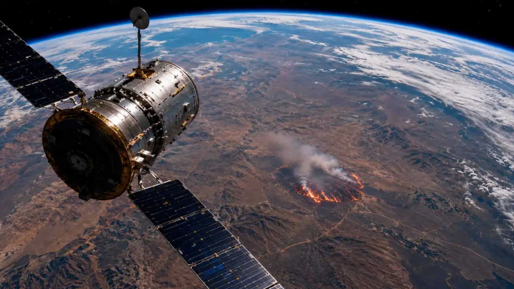
Sweden has polar satellites scanning its pine forests for heat spikes. Thermal sensors detect when a fire breaks out, and an automated system alerts emergency services within 17 minutes.
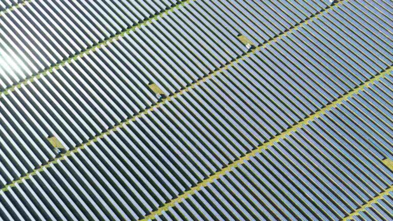
However, a problematic pattern was reported recently. Dozens of alerts of supposed wildfires were actually pointing to solar panel arrays.
What is causing heat sensors on orbiting satellites to mistake solar farms for active wildfires and send out alarms?
How satellites are reducing the spread of wildfires
After several seasons of severe wildfires, emergency agencies in Sweden designed an automated detection system with a straightforward purpose. It was meant to detect wildfires on the ground before smoke becomes visible to ground crews or aircraft. The point is to catch small fires before they spread.
The infrastructure includes radiometric sensors installed on polar satellites designed to scan the environment. When the spacecraft pass over northern latitudes, onboard instruments record thermal levels over wide areas of land.
The measurements are processed immediately. Computers find the pixels in the map that indicate higher thermal output than the surrounding terrain.
When a pixel’s background limits are exceeded, the geographical coordinates are sent to regional dispatch centers. Communication delays are reduced by the direct transmission.
During its first years from 2022 to 2024, the satellite network functioned quickly and well. In 29% of all verified forest fires, satellite warnings were the first alerts received. This speed is important in isolated regions where human observation is limited and response times are delayed.
False fire alarms and operational strain
While the detection speed is high, there is a flaw in the system. Around 10 percent of the automated warnings sent out turned out to be false alarms.
Responders would rush to the coordinates flagged by the satellite system and repeatedly find no fires. Instead, they were directed to solar arrays mounted on the ground, glass greenhouses, or industrial metal roofs.
These false reports ended up creating serious friction for response teams. Municipal budgets that were limited in the first place were strained by unnecessary callouts to rural areas. Dispatching firefighters and observation aircraft to fires that did not exist wasted fuel and kept emergency personnel tied up for nothing. Trust in automated systems started to break down.
The phantom alerts grew more frequent as solar power installations expanded. Each new installation added another potential reflection point on the maps.
Engineers trying to understand the problem realized that the orbiting instruments were picking up some surface signatures as combustion. They needed to understand how the physical infrastructure was interfering with the satellite sensors.
New algorithms are saving the day
Photovoltaic glass functions like a mirror, which is why the satellite detection system reported false fires. The panels ended up creating specular reflections at specific angles. This only happened when sunlight hit the arrays at a precise angle relative to the satellite. Concentrated solar radiation is reflected back at the sensors.
These light flashes mimic the radiotermal signature of a fire, so the processing software interprets this as a fire pixel. The automated alert is sent out before humans are able to verify that the system is not crying wolf.
To do away with the false warnings, the detection software was updated with land use maps and solar geometry models. The new algorithms can now filter out these kinds of glare by tracking the satellite’s position relative to the sun and the solar arrays.
Continuous updates are needed for accuracy
In Sweden, the updated software means the 17-minute warning window is maintained, and the crews are no longer sent to attend to fires that do not exist.
But new solar plants are cropping up regularly, which means that maps need to be updated continuously to remain accurate. The spread of green energy infrastructure means that orbital monitoring needs context about what is happening on the ground. Engineers will need to increasingly factor in these kinds of glitches as clean power expands across the globe.
You can read the full study here: Dybbroe, A., Sjöström, J., Andersson, S., Jansson, A., & Svensson, R. (2026). Validation of an automated end-to-end system for satellite-based wildfire detection in Sweden. Journal of Pyrogeography, 100004.
Read the whole thing?
Get the week's signal, not the noise
Our sharpest reporting on energy, climate and nature — free, once a week.