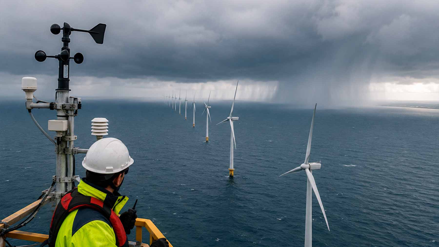
The more offshore wind farming expands, the more we see its effect on the atmosphere and the shifts in localized weather patterns.
Researchers from the University of Delaware recently carried out a numerical study to analyze extreme coastal weather events. In particular, they looked at how large turbine arrays influence storm dynamics.
As ocean winds approach the coast, they interact with any turbines in the way. This triggers unexpected changes in atmospheric moisture levels before any storms reach the shore. What is it about the motion of the blades at sea that alters rainfall on land?
Atmospheric barriers on a scale that changes the weather
When storms form over open water and encounter wind turbines before reaching the shore, the physical barrier prevents lower-level air circulation. While on the open ocean, strong winds maintain momentum, but the speed of the moving air drops when it reaches an industrial turbine array. The deceleration means incoming air is forced to accumulate behind the turbines. Coastal airflow is restricted, and the lower layer of the storm formation is changed.
The slowing down of the air creates a localized convergence zone upstream of the array. The air that is trapped at the surface can go nowhere but up, ending up higher in the atmosphere than it would normally be.
The result of the vertical motion accelerates cloud formation. Heavier than normal precipitation falls directly over the ocean, extracting moisture from the storm well before it reaches land.
Shifted dynamics over open water mean less intense storms on land
The upward movement of moist air over the turbine array alters the moisture content of the storm. By forcing rain to fall over the sea before approaching land, the wind farm strips the water vapor from the clouds. A significant portion of the precipitation is lost while still miles away from coastal communities and inland infrastructure.
After passing the wind farm, the air speeds up again, creating a downstream divergence zone. This pulls cooler, drier air from higher altitudes, which results in even more suppression of the cloud formation.
The combination of early precipitation and the sinking of downstream air means the air mass becomes much drier. As the storm continues toward the coast, the atmospheric conditions necessary for heavy rainfall over long periods have been depleted. For many, this is a good thing, as lighter rainfall means less risk of flooding or damage to crops, infrastructure, or property.
A new pattern: Upstream convergence, then downstream divergence
Computer simulations of major hurricanes show how offshore wind farms alter precipitation through a two-stage process. First, there’s upstream convergence in the atmosphere, followed by downstream divergence at the turbine arrays. The deceleration of the incoming winds creates a bottleneck. Air at the surface converges and is pushed upward, where cool air condenses.
This cycle effectively “squeezes” the moisture out of the storm, because the rain falls earlier than it should. It doesn’t stop there, though. Once past the turbines, the acceleration of air causes divergence, pulling dry air downwind. Again, this means less rainfall.
Simulations modeled on Hurricane Harvey suggest that onshore rainfall could have been reduced by up to 30 percent by the turbine mechanism.
A strategy for flood protection
The findings suggest that offshore wind farms located relatively close to the coast may offer protection from inland flooding and may be used strategically with this as a secondary function in the future.
Understanding these atmospheric interactions is essential as global offshore energy installations increase. Another atmospheric dynamic linked to wind farming explains “wake clouds,” which are being picked from the sky up by pilots.
Read more on the study behind the report here: APA CITE: Pan, Y., Yan, C., & Archer, C. L. (2018). Precipitation reduction during Hurricane Harvey with simulated offshore wind farms. Environmental Research Letters, 13(8), 084007
Read the whole thing?
Get the week's signal, not the noise
Our sharpest reporting on energy, climate and nature — free, once a week.