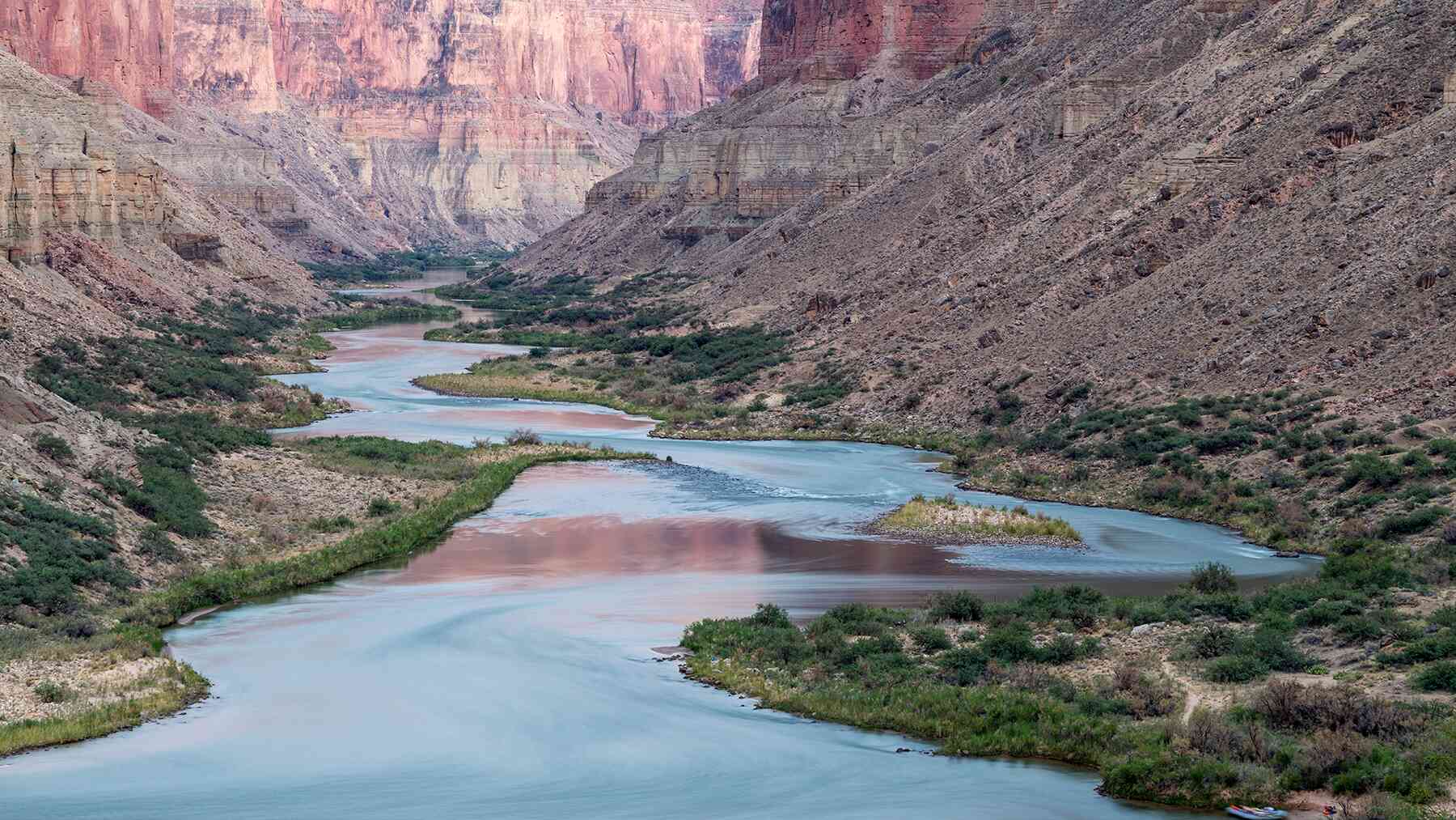
On a summer day at the Grand Canyon, a hiker stops at a water station deep in the gorge — exhausted, overheated, grateful for a cold refill. What they likely don’t know: every drop of that water flows from a single cave spring tucked into the North Rim’s cliffs, unreachable by any public trail.
That spring, called Roaring Springs, is the canyon’s only water source. Until recently, the underground network feeding it was almost entirely unmapped. Now, as the region grows hotter and drier, researchers are racing to understand a system they can barely see — before something disrupts it.
One spring feeds the entire canyon
Roaring Springs sits tucked into the North Rim’s cliffs, audible and briefly visible from the North Kaibab Trail — but unreachable by any public path. Despite that inaccessibility, it supplies water to every visitor, staff member, and facility across Grand Canyon National Park. There is no backup source, no secondary pipeline drawing from somewhere else.
The spring sustains far more than human infrastructure. Plants, animals, and entire ecosystems within the canyon depend on its steady flow. Researchers describe these springs as oases — isolated pockets of life in an otherwise arid landscape — and as the American Southwest grows hotter and drier, that single point of dependence is becoming harder to ignore.
Descending into the unmapped underground
To understand how Roaring Springs works, researchers at Northern Arizona University first had to see what they were dealing with. That meant going underground.
Using mobile lidar scanners, a team led by Ph.D. student Blase LaSala and professor Temuulen “Teki” Sankey built high-resolution 3D models of several cave systems beneath the canyon. Over 45 days, they documented more than 10 kilometers of underground passages and chambers — the first time Grand Canyon caves had ever been mapped in three dimensions.
The fieldwork was genuinely grueling. Team members carried packs weighing up to 55 pounds, including sensitive lidar equipment, and reaching some cave entrances required two full days of hiking. Once inside, researchers climbed, rappelled, crawled, and floated through flooded sections to capture every passage and fracture.
“I had no idea how large and long these caves are,” Sankey said. The resulting maps reveal fracture patterns and passage arrangements that hint at how water moves through the rock — information that simply did not exist before.
Tracing snowmelt through a geological black box
The surface source of the water is not in dispute. Snowmelt from the Kaibab Plateau feeds the system. What happens next is far less clear.
That snowmelt must travel through multiple rock layers before reaching the Redwall and Muav limestone formations that host the springs. Previous dye tracing experiments, conducted with the park’s involvement, offered some striking clues: in some tests, dye poured into sinkholes on the plateau traveled roughly 20 kilometers and appeared at springs in as little as one week.
The exact route, though, remains uncertain. Fractures, faults, rock permeability, and hidden underground channels all shape the journey in ways researchers are still working to untangle.
“It’s like looking at a black box,” LaSala said. “You see what comes in and what comes out, but it’s very hard to quantify what’s going on in there.” The new 3D maps give scientists their first real look at the internal architecture — a foundation for connecting surface observations to what happens hundreds of feet below.
When the water highway becomes a contamination risk
Speed is one of the karst system’s defining features. Water moves fast through it. So do contaminants.
Sankey describes the Grand Canyon’s karst geology as resembling Swiss cheese — riddled with holes, channels, and openings that allow water to bypass the natural filtration that slower-moving groundwater systems provide. Wildfire runoff or bacteria like E. coli entering a sinkhole on the plateau could reach Roaring Springs in days, potentially forcing park officials to shut down pumping operations until the problem clears.
That risk is not hypothetical. The Dragon Bravo Fire, burning on the Kaibab Plateau as this research continues, adds a real-time variable to the study. Researchers view it as a new factor to incorporate rather than an obstacle, but it underscores how quickly conditions in the watershed can shift. Mapping where water enters the system helps managers identify potential contamination points before a crisis forces the issue.
What comes next — and why it matters far beyond Arizona
The next research phase is scheduled to begin in early 2026. Using airborne lidar surveys and decades of satellite data, LaSala and Sankey plan to map sinkholes across both canyon rims while analyzing 40 years of snowmelt patterns. Snowpack in Arizona has declined over time, and the Grand Canyon region has followed that same trend — making those patterns an increasingly urgent focus.
The implications stretch well beyond the park’s boundaries. More than one billion people worldwide rely on water from karst spring systems similar to the one beneath the Grand Canyon, and a clearer picture of how these systems function could improve water management decisions globally. The findings may also benefit Native American tribes within and near the park.
“There are so many places that could benefit from this type of analysis,” LaSala said. As the mapping effort grows more detailed and the data archive expands, the canyon’s hidden water highway may ultimately teach scientists something useful about springs far from Arizona — and the communities that depend on them.
Read the whole thing?
Get the week's signal, not the noise
Our sharpest reporting on energy, climate and nature — free, once a week.