Stories of the Roman Empire have been passed down through generations, and evidence of its existence is the remains and preserved stone. Archaeologists have been trying to decode the routes using fragmented pieces for centuries. The main goal is to create a simplistic view of ancient travel, and the theory is that all of the routes lead to the imperial capital; however, here is a new digital mapping project that is now proving to be a much more complex and bigger system than anyone can comprehend.
Uncovering the truth behind the routes that weave into Rome
The saying “all roads lead to Rome” might have had truth behind it. Researchers state that the idea of the system was created to serve the imperial capital, and the sole purpose was for the imperial government to have control over those routes. The routes in that age were primarily used for trade and the mobility of the people. Initially, the aim of the roads was to use them for military strategy.
Rome’s reputation of being decisive and stern proved to be true as they decided to build across natural barriers instead of around them. The roads served as a symbol of power and imperial intentions. There even used to be picture of this system where the previous landmarks included the Barrington Atlas in 2000, but it was lacking detail and created huge gaps. Archaeologists guessed majority of the network that was not recorded and was either covered by modern urban centers or eroded.
The imperial routes can now be reconstructed completely using technology
The archaeologist Tom Brughmans has led a new project called Itiner-e, which has changed what we know about Roman transportation. Based on satellite shots, excavation documents, and old maps, scientists have discovered at least a network of 300,000 kilometers, almost twice the length as before. If these routes were laid down in a straight line, they would cross the Earth 7 times. The map covers over 40 countries, and this elaborates that the Roman Empire was much more advanced in its engineering than previously thought.
Lost roads were identified using remote sensing and historic maps, which were added to the historical remains as evidence. This helped historians discover routes better as well as get a better understanding of the Romans’ ways of travel.
Research reveals that Rome was not the center of the world as was once believed
This discovery challenges the idea of the saying, “all roads lead to Rome”, as it turns out that Rome was, in fact, not the most connected location on land. The most independent regions were the Po Valley and the Alpine crossings. Rome was not considered to be the center until ships became a common mode of transportation.
The new model of the map gives the differences between the major tracks and the minor tracks as well. The total percentage of roads that are mapped with precision is only 2.7%, so there is still work to be done on this project. Rather than being viewed as incomplete, the map is supposed to serve as a guide to where research should be going in the future.
The knowledge of these pathways opens new horizons for cultural growth
The updated version of the map really gives better context on how diseases, religion, and ideas diffused throughout the Roman Empire. Diseases like the Antonine Plague could have been spread using the highly congested transport corridors, and by using major roads, this is also how early Christianity was spread.
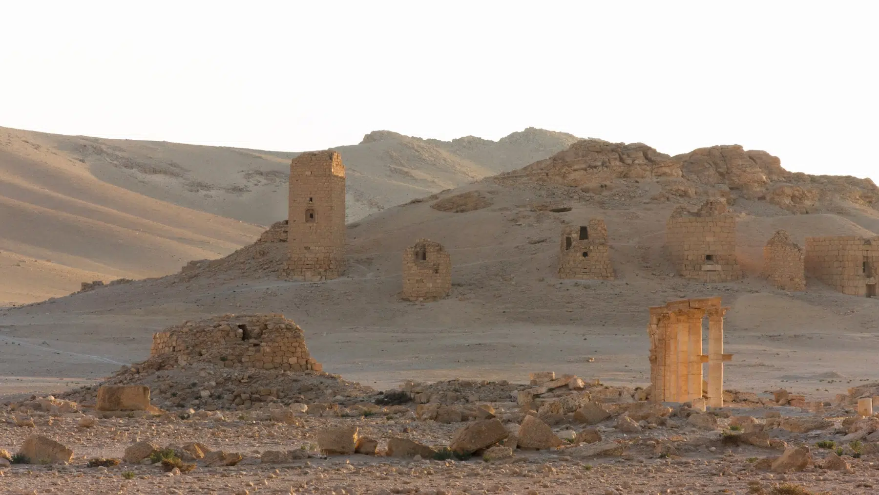
The digital reconstruction of these historical ruins preserves history in a better form and creates a clearer understanding of how the Roman Empire was connected. Even though there are still missing pieces of the remains, the research is still progressing, and this time, there are facts to lead archaeologists in the right direction.
Read the whole thing?
Get the week's signal, not the noise
Our sharpest reporting on energy, climate and nature — free, once a week.